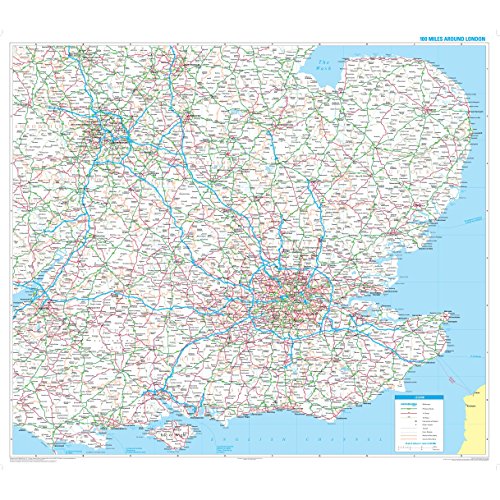

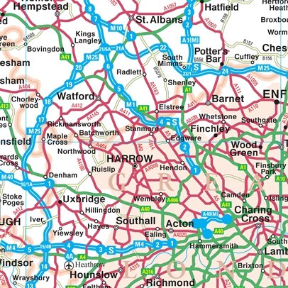

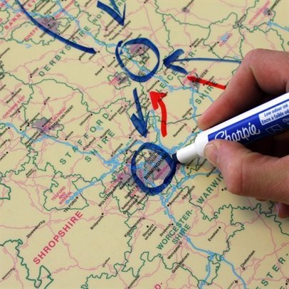
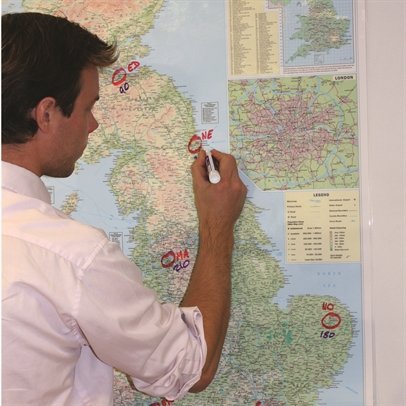

Specially produced for the commercial driver and practical motorist, designed for planning of sales and transportation within a 100 mile radius of London. Fully updated for 2010, roads are colour-coded for easy use, road numbers and distances are shown in a format that is clear and easy to read. Also includes county boundaries, airports and ferry routes. The area covered is from Bristol to the East coast and from Stoke-on-Trent to the South coast. Size: 90 x 105 cm (36 x 42 inches). Scale: 1:316 800 (5 miles to 1 inch) The map is permanently bonded between two sheets of tough, flexible, crystal-clear plastic. This finish allows you to "write on, wipe off" with dry or wet wipe pens. The map is also available framed in either superb satin-finish aluminium or dark or light wood supplied ready to display.
Trustpilot
1 day ago
1 week ago
